Long Island forecast: After the rain, a hot, humid week
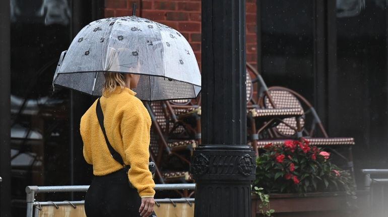
A pedestrian holding an umbrella walks along Main Street in Patchogue as light rain falls on Sunday. Credit: James Carbone
After Sunday showers that could run into Monday, forecasters say high heat and humidity return with conditions getting more oppressive as the week goes on.
National Weather Service meteorologist Dominic Ramunni said "We're going to be warming up on Tuesday into the middle to upper 80s, continuing to heat up close to 90 on Wednesday. And then Thursday and Friday look to be the peak of the heat with temperatures around 90.
Only 25¢ for 5 months
After Sunday showers that could run into Monday, forecasters say high heat and humidity return with conditions getting more oppressive as the week goes on.
National Weather Service meteorologist Dominic Ramunni said "We're going to be warming up on Tuesday into the middle to upper 80s, continuing to heat up close to 90 on Wednesday. And then Thursday and Friday look to be the peak of the heat with temperatures around 90.
"But when you factor in the humidity, we'll be talking about indices in the upper 90s and approaching 100 at times," he said.
"We haven’t had a prolonged heat spell like this since the end of June, first day or two of July," Ramunni said.
Thursday and Friday have a 30% chance of afternoon showers and storms. The predicted thunderstorms Friday night and into Saturday could break the heat for the weekend.
As of now Saturday’s high looks to be in the lower 80s.
'I'm going to try to avoid it' A trip to the emergency room in a Long Island hospital now averages nearly 4 hours, data shows. NewsdayTV's Virginia Huie reports.